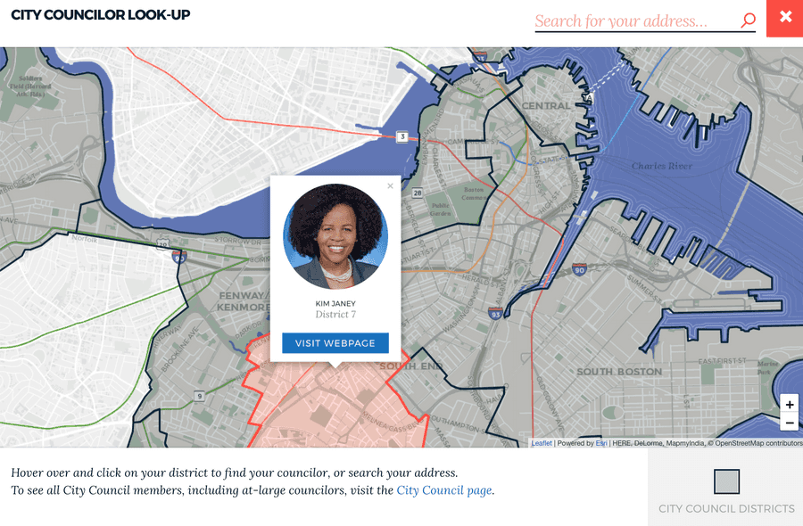
Maps on boston.gov.
Product Manager
Project Overview
In late 2018, we made improvements to how we get maps on boston.gov. The product goals were to:
- Fully integrate with Drupal, boston.gov's CMS
- Fit the city's brand
- Integrate with the infrastructure our Analytics Team uses to share data (ArcGIS Online)
- Be easy to update
- Be mobile reponsive and nice to use
We built a custom Drupal component so maps could be placed on any page and leveraged hosted data sources maintained by our data team. We wrote more about these updates on the Digital Team's blog: Building better maps for boston.gov.
Tech
From a technical stand point, we leveraged web components that we wrapped up in a custom Drupal component. The web component uses esri-leafet which lets us integrate with our data hosted on ArcGIS Online.
